
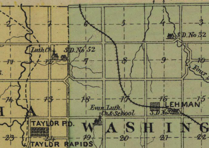
Note: Present day Bern was called Lehman
St. John's Lutheran Church, Bern, Nemaha Co., KS
|
|
|
| Kansas Department of Transportation General Highway Map of Nemaha County, 1992 | Evert's 1887 Kansas Atlas -
http://www.lib.ku.edu/mapscoll/ksatlas/nemaha.shtml Note: Present day Bern was called Lehman |
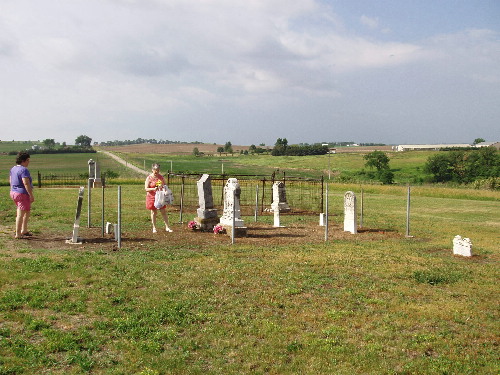
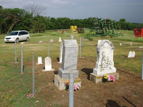
St John's Ev. Church was located in Section 12. A cemetery is all that remains. It is well kept, apparently by the landowner.
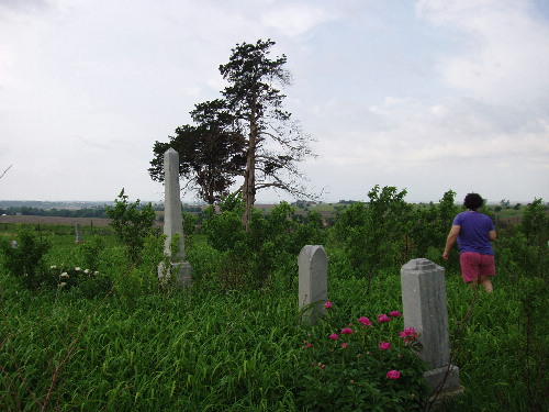
2nd St. John's Ev. Church was located near the northeast corner of Section 19. All that remains is a cemetery on the hill about 100 yards west of a north-south road and is has not been maintained. However, it is fenced. It is actually about 100 yards west of the east side of the section and about 1/4 mile south of K-71 Highway.
 |
 |
 |
 |
| Top Picture: Looking south from St John Cemetery, Section 12
Bottom Picture: Looking NW toward entrance and at implements of the farmstead nearby. The farm is a large feeding operation. |
Top Picture: Looking west from
road towards St Johns 2 Cemetery on top of hill, approximately 100 yards
from road. The cemetery is enclosed by a well maintained barbed wire
fense.
Bottom Picture: Picture of growth with cemetery |